1
 2
2

 4
4
 5
5

 7
7

 9
9
 10
10
 This, and the following 5 shots below, is taken from a turnout off Hwy 2 just north of Upper Tujunga Canyon Road. I tried to capture a silhouette of the ridge.
11
 Beyond that blue ridge at the far right, you can see a ridge farther in the distance. That's the San Gabriel Mountain ridge above Duarte. I need a better wide-angle lens.
12
 13
13
 14
14
 15
15
 16
16
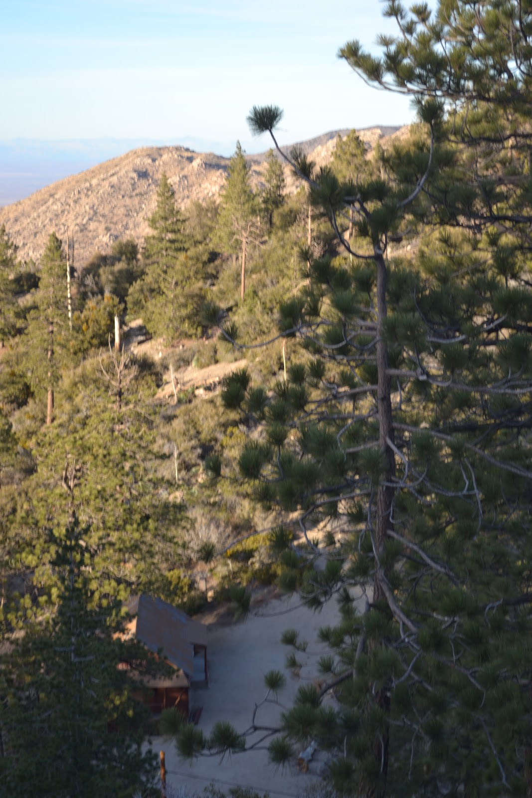
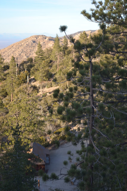 The tree at the bottom left obscures the cabin. This shot is taken from a turnout on the west end of the Buckhorn campground off Angeles Crest Highway 2.
17
 18
18


 21
21


 24
24
 25
25
 26
26
 27
27
 I shot this at Red Box, the junction of Angeles Crest and Mt. Wilson Road, at about 4:20pm. Red Box, the junction and canyon, are named for the large red box where fire fighting tools were stored in the early part of last century.
28

 30
30


Just around the bend from Clear Creek Ranger Station on the drive home.

Shot from Clear Creek Ranger Station.
3


That's Angeles Crest Highway winding toward Clear Creek Ranger Station where Angeles Forest Highway joins it. This shot is taken from Red Box.
6


Colby Canyon
8


11

12


17


Shot of Buckhorn . . . kind of.
20


This is the best shot of the desert I got from Buckhorn today.
22

Desert's a little hazy in the distance.
23


28

I like how the ridges repeat in the distance.
29


Mike - these photos were wonderful. You are very good at capturing scenes and views which stir the imagination. Thanks for sharing these, I appreciated and enjoyed them. My only criticism is that you didn't invite me to go with you!
ReplyDelete