1
Just around the bend from Clear Creek Ranger Station on the drive home.
2
Shot from Clear Creek Ranger Station.
3
4
5
That's
Angeles Crest Highway winding toward Clear Creek Ranger Station where Angeles Forest Highway joins it. This shot is taken from Red Box.
6
7
9
10
This, and the following 5 shots below, is taken from a turnout off Hwy 2 just north of Upper Tujunga Canyon Road. I tried to capture a silhouette of the ridge.
11
Beyond that blue ridge at the far right, you can see a ridge farther in the distance. That's the San Gabriel Mountain ridge above Duarte. I need a better wide-angle lens.
12
13
14
15
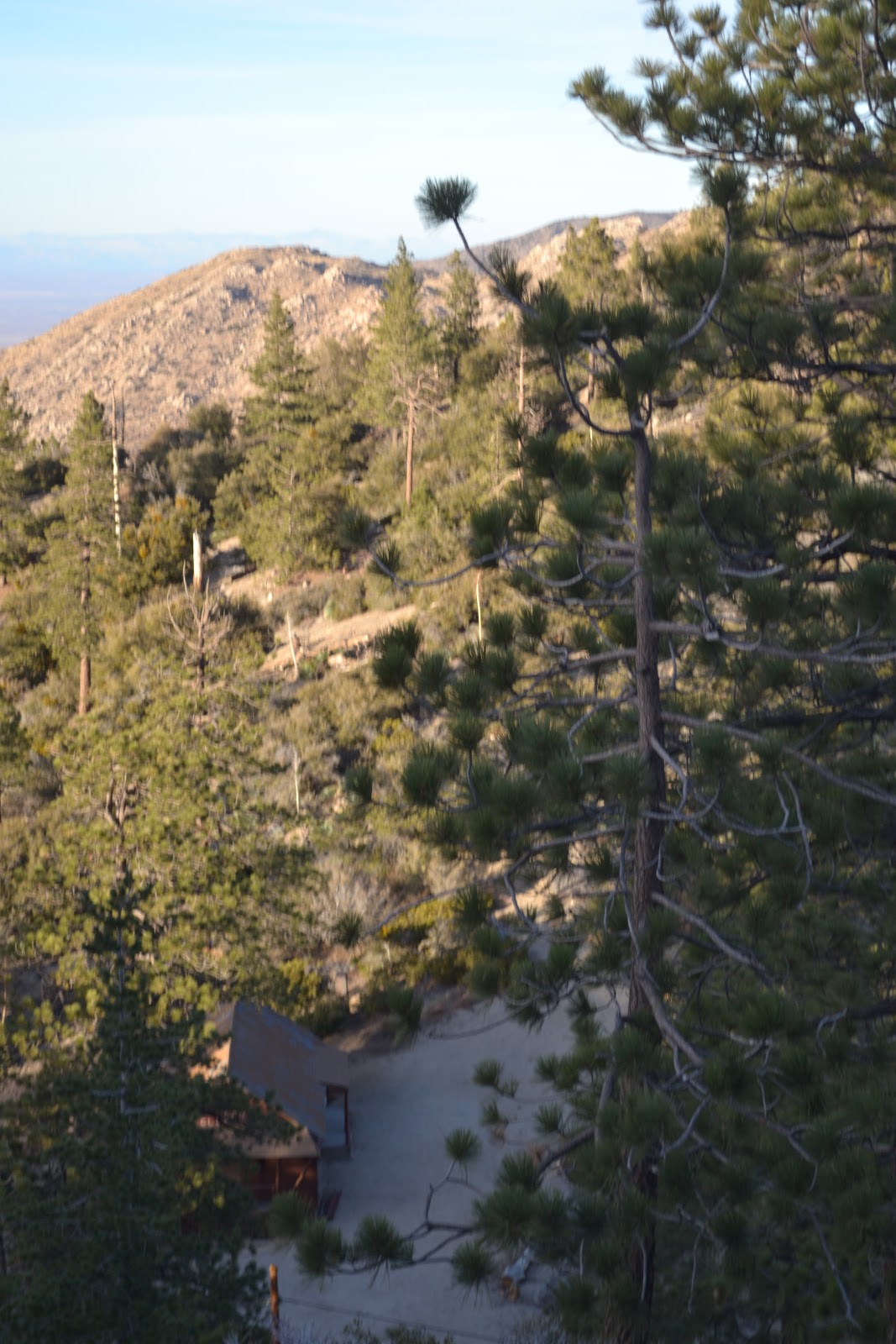
16
The tree at the bottom left obscures the cabin. This shot is taken from a turnout on the west end of the
Buckhorn campground off Angeles Crest Highway 2.
17
18
Shot of Buckhorn . . . kind of.
20
21
This is the best shot of the desert I got from Buckhorn today.
22
Desert's a little hazy in the distance.
23
24
25
26
27
I shot this at Red Box, the junction of Angeles Crest and Mt. Wilson Road, at about 4:20pm. Red Box, the junction and canyon, are named for the large red box where fire fighting tools were stored in the early part of last century.
28
I like how the ridges repeat in the distance.
29
30